Category
TAGS
Description
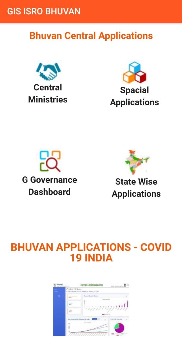
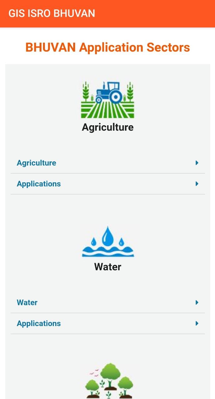
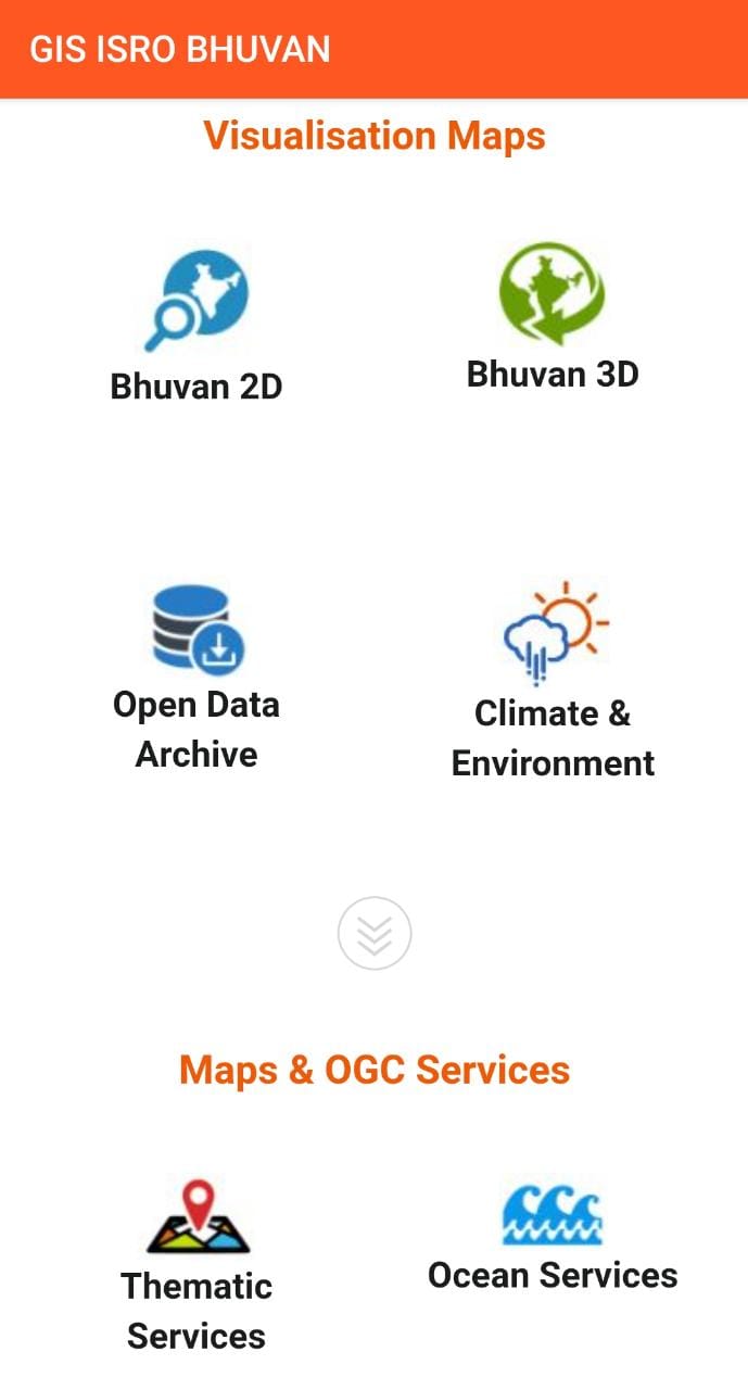
GIS ISRO BHUVAN (Live Positioning Maps By ISRO INDIA)
ISRO's live satellite view on earth to see the and india from space live
ISRO launched the testing purpose of its web-based 3D satellite imagery tool, ISRO Bhuvan, on August 12, 2009. Bhuvan is supposed to offer more detailed imagery of Indian GEO locations compared to other App, with spatial resolutions ranging from 10 to 100 meters.
The images available do not include any military system installations in India, due to security concerns.
GIS ISRO BHUVAN (Live Positioning Maps By ISRO INDIA)– All latest news about ISRO, latest images, videos, mission information, news, featured content of Missions, Space science, Spacecraft, bhuvan map and lots of feature.
Related Apps + Games
View All-
Tap Madness (Tap Tap)
by Lucas Barretto e Silva
-
MOTO RACER 2015
by TOP ACTION GAMES 2015
-
Pumbo
by Jesus Alberto Martinez Jimenez
-
Flowers Pot Shine LWP
by ram


